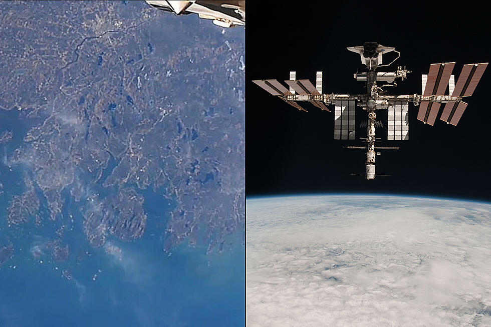
International Space Station Photo Of Downeast Maine Is Amazing
Earlier this year, the international space station passed over Maine and snapped a shot that got some pretty awesome reviews from Mainers on social media.
The picture spans the coast of Downeast Maine from about Port Clyde in Knox County to Cutler in Washington County. Mount Desert Island is shown in the center of the photo, with Frenchman Bay to the right and Union River Bay to the left.
Further to the left of the Castine area is Penobscot Bay, and one can follow the Penobscot River inland past Verona Island, Winterport, Hampden, and eventually to the Bangor area where you can actually see the congestion of the city somewhat from high above.
Some of the bigger bodies of water are plainly viewed as well, like Tunk Lake in Franklin, Graham Lake in Ellsworth and Waltham, and Phillips Lake in Dedham.
The International Space Station floats over our area sometimes up to six times a day. One night a few years ago, this author actually glanced up at the right time at night to see a booster fire from it, which is used to steer it in the correct direction. It was a pretty amazing thing to view.
$1.75 Million Island Paradise Is Ellsworth's Most Expensive Home For Sale
$3.5 Million Bar Harbor Estate For Sale Includes An Amazing Pool
More From WWMJ Ellsworth Maine


